
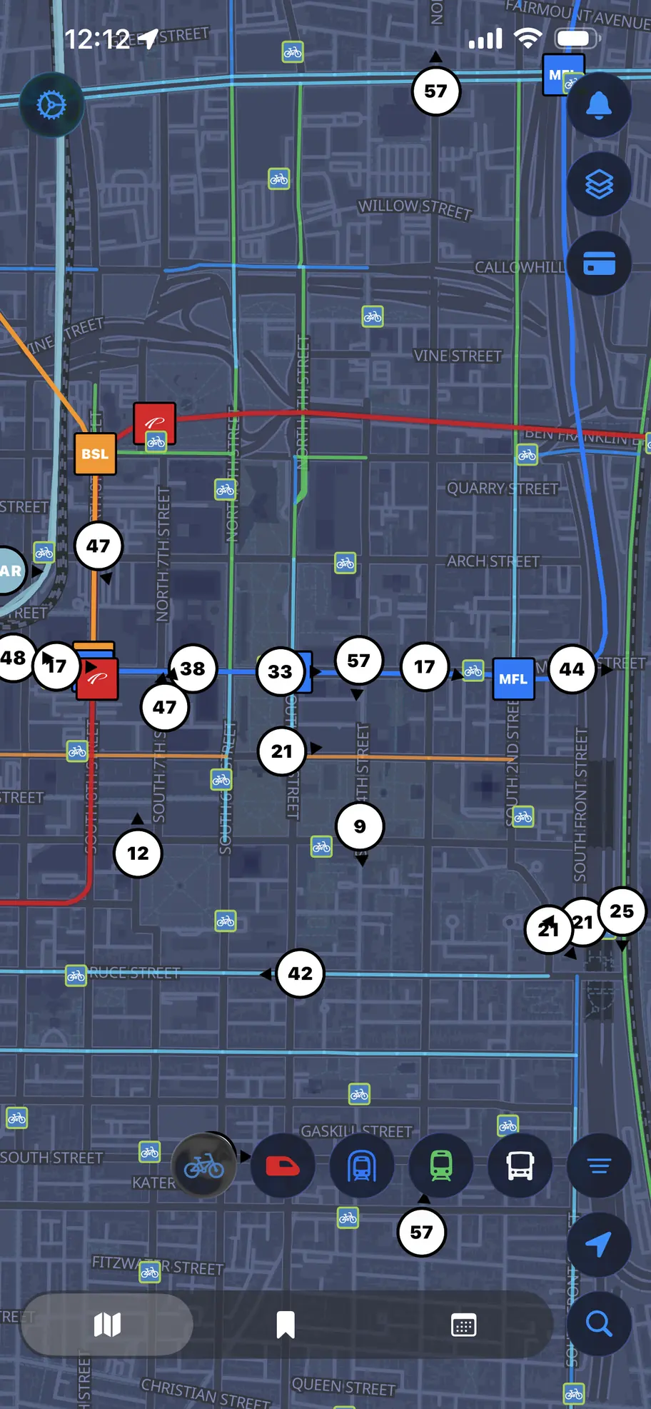
Every line on one canvas
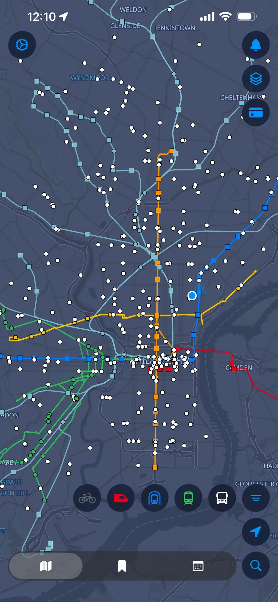
The full system at a glance, then filter down to exactly what you care about. Tap any vehicle, stop or route to dig in without ever leaving the map.
View this live transit information in Route Radar for iPhone.
Buses, trolleys, subways, regional rail and PATCO on one fast native map — with live arrivals, service alerts, saved stops, and more.
From the morning bus to the last train home — Route Radar gives a live, accurate picture of the whole system.
Watch active buses, trolley's, subway's and regional rail train's move in real time on a smooth, high-performance map.
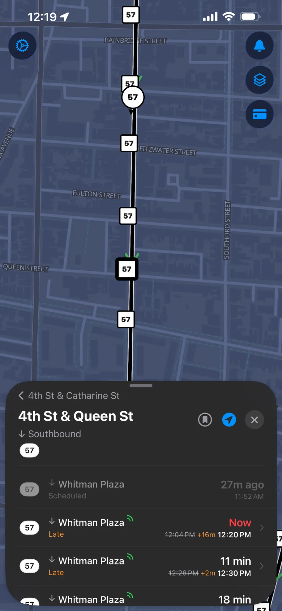
Tap any stop for live ETAs that blend the published schedule with actual vehicle positions and delays.
Check your card balance, travel wallet, passes and recent trips without ever leaving the app.
Active detours drawn right on the map, and route alerts surfaced exactly where they matter.
Save your everyday stops and routes for quick access, kept in sync across your devices.
Nearby Indego docks with live bike and dock availability, plus the city's bike-lane network mapped alongside transit.
Native SwiftUI, a hardware-accelerated map, and a layout that gets out of your way.

The full system at a glance, then filter down to exactly what you care about. Tap any vehicle, stop or route to dig in without ever leaving the map.

Live ETAs broken out by direction, built from real vehicle positions rather than the timetable alone — so you know whether to run.

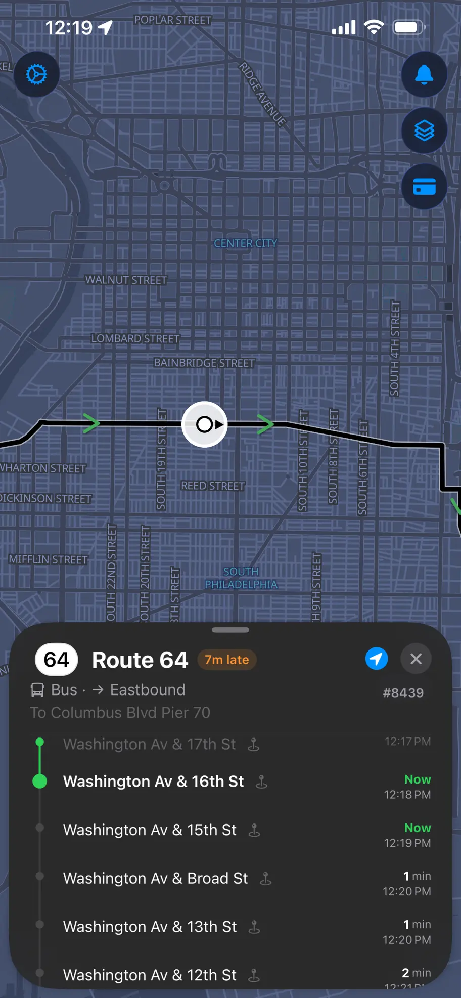
Pick a vehicle and watch its whole trip unfold — where it is now, which stops are behind it, and when it reaches yours.